Sir John Monash, Personal Files Book 3, 11 April - 26 April 1915, Part 2
Recd. 16/4/15
A.
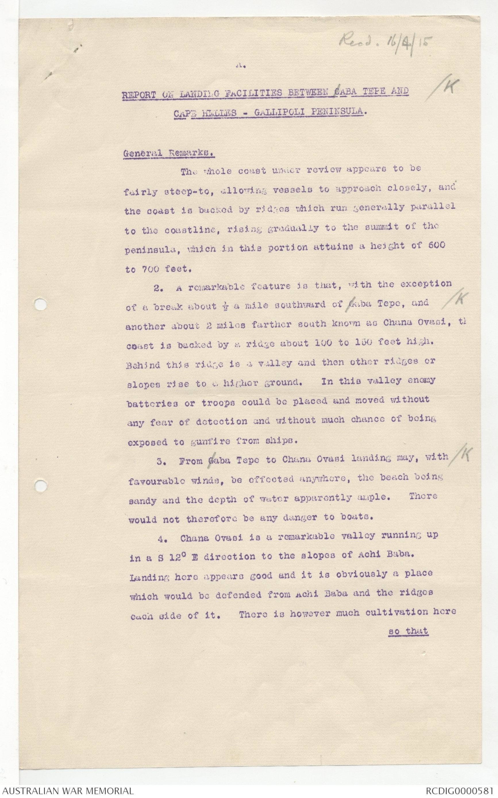
REPORT ON LANDING FACILITIES BETWEEN GABA TEPE AND [*/K*]
CAPE HELLES - GALLIPOLI PENINSULA.
General Remarks.
The whole coast under review appears to be
fairly steep-to, allowing vessels to approach closely, and
the coast is backed by ridges which run generally parallel
to the coastline, rising gradually to the summit of the
peninsula, which in this portion attains a height of 600
to 700 feet.
2. A remarkable feature is that, with the exception
of a break about ½ a mile southward of Gaba Tepe, and [*/K*]
another about 2 miles farther south known as Chana Ovasi, th
coast is backed by a ridge about 100 to 150 feet high.
Behind this ridge is a valley and then other ridges or
slopes rise to a higher ground. In this valley enemy
batteries or troops could be placed and moved without
any fear of detection and without much chance of being
exposed to gunfire from ships.
3. From Gaba Tepo to Chana Ovasi landing may, with [*/K*]
favourable winds, be effected anywhere, the beach being
sandy and the depth of water apparently ample. There
would not therefore be any danger to boats.
4. Chana Ovasi is a remarkable valley running up
in a S 12° E direction to the slopes of Achi Baba.
Landing here appears good and it is obviously a place
which would be defended from Achi Baba and the ridges
each side of it. There is however much cultivation here
so that
A.
11.
so that cover might be possible.
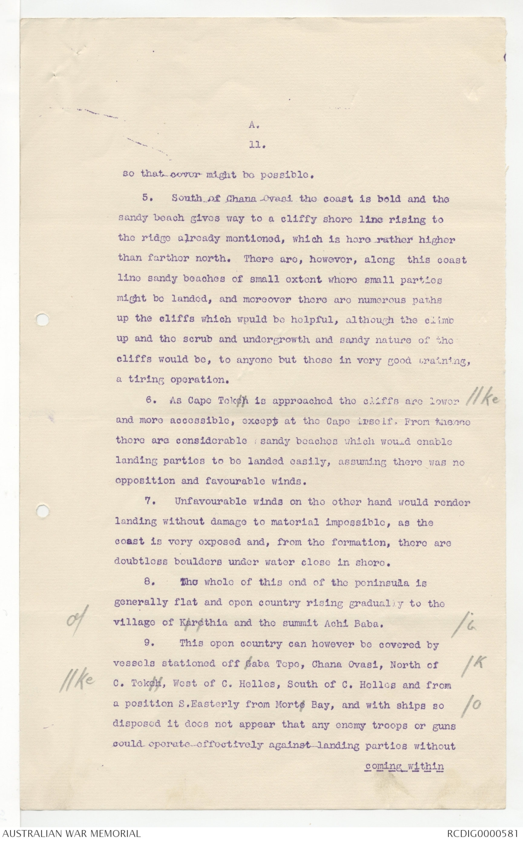
5. South of Chana Ovasi the coast is bold and the
sandy beach gives way to a cliffy shore line rising to
the ridge already mentioned, which is here rather higher
than farther north. There are, however, along this coast
line sandy beaches of small extent where small parties
might be landed, and moreover there are numerous paths
up the cliffs which would be helpful, although the climb
up and the scrub and undergrowth and sandy nature of the
cliffs would be, to anyone but those in very good training,
a tiring operation.
6. As Capo Tokeh is approached the cliffs are lower [*//ke*]
and more accessible, except at the Cape itself. From thence
there are considerable sandy beaches which would enable
landing parties to be landed easily, assuming there was no
opposition and favourable winds.
7. Unfavourable winds on the other hand would render
landing without damage to material impossible, as the
coast is very exposed and, from the formation, there are
doubtless boulders under water close in shore.
8. The whole of this end of the peninsula is
generally flat and open country rising gradually to the
village of Karcthia and the summit Achi Baba. [*/G*]
9. This open country can however be covered by
vessels stationed off Gaba Topo, Chana Ovasi, North of [*/K*]
[*//ke*] C. Tokeh, West of C. Helles, South of C. Holles and from
a position S.Easterly from Morte Bay, and with ships so [*/o*]
disposed it does not appear that any enemy troops or guns
could operate-effectively against landing parties without
coming within
A.
III.
coming within sight and under fire of the ships.
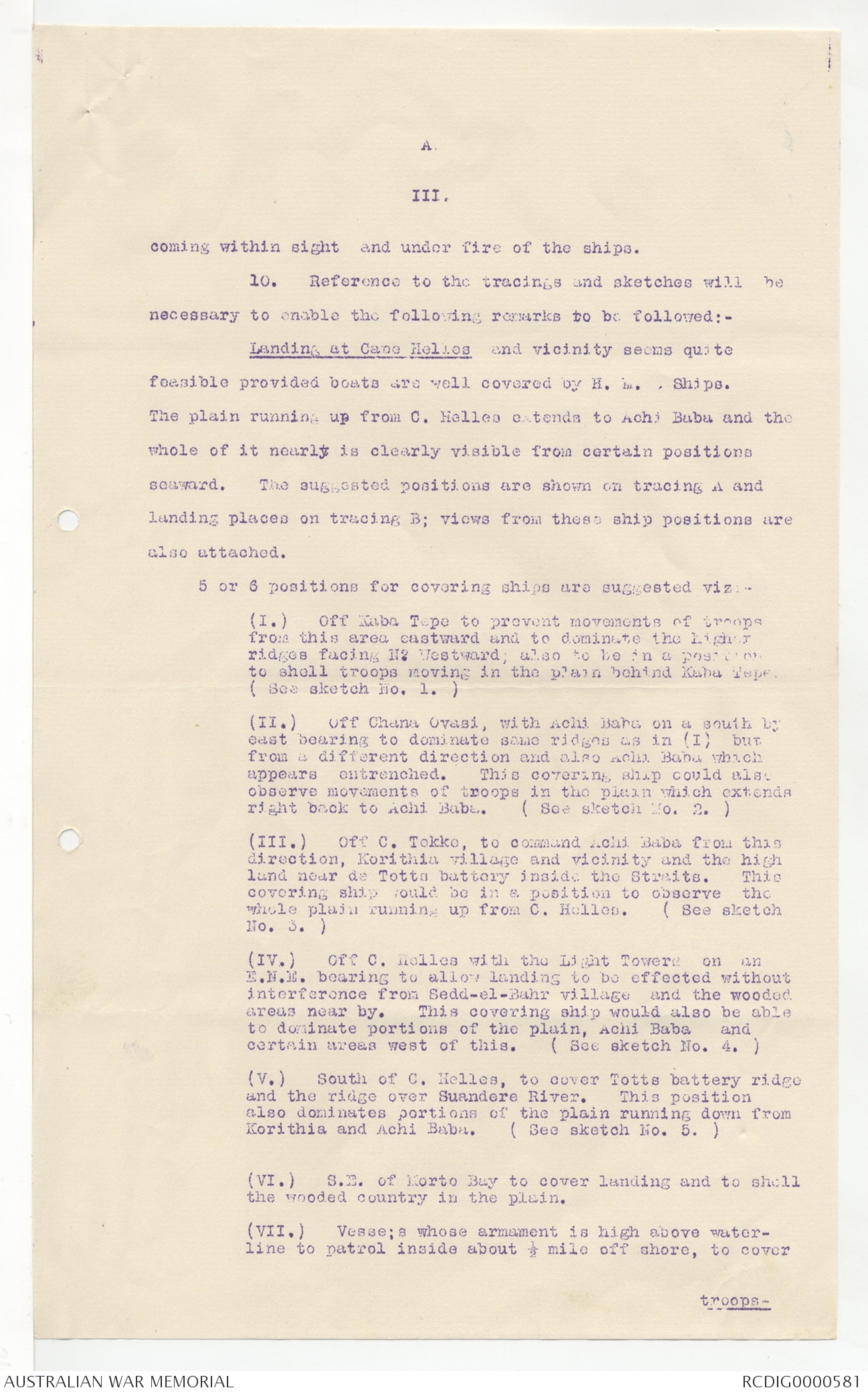
10. Reference to the tracings and sketches will be
necessary to enable the following remarks to be followed:-
Landing at Cape Helles and vicinity seems quite
feasible provided boats are well covered by H. M. Ships.
The plain running up from C. Helles extends to Achi Baba and the
whole of it nearly is clearly visible from certain positions
seaward. The suggested positions are shown on tracing A and
landing places on tracing B; views from these ship positions are
also attached.
5 or 6 positions for covering ships are suggested viz:-
(I.) Off Kaba Tepe to prevent movements of troops
from this area eastward and to dominate the higher
ridges facing N. Westward; also to be in a position
to shell troops moving in the plain behind Kaba Tepe.
( See sketch No. 1. )
(II.) Off Chana Ovasi, with Achi Baba on a south by
east bearing to dominate same ridges as in (I) but
from a different direction and also Achi Baba which
appears entrenched. This covering ship could also
observe movements of troops in the plain which extends
right back to Achi Baba. ( See sketch No. 2. )
(III.) Off C. Tekke, to command Achi Baba from this
direction, Korithia village and vicinity and the high
land near de Totts battery inside the Straits. This
covering ship would be in a position to observe, the
whole plain running up from C. Helles. ( See sketch
No. 3. )
(IV.) Off C. Helles with the Light Towers on an
E.N.M. bearing to allow landing to be effected without
interference from Sedd-el-Bahr village, and the wooded
areas near by. This covering ship would also be able
to dominate portions of the plain, Achi Baba and
certain areas west of this. ( See sketch No. 4. )
(V.) South of C. Helles, to cover Totts battery ridge
and the ridge over Suandere River. This position
also dominates portions of the plain running down from
Korithia and Achi Baba. ( See sketch No. 5. )
(VI.) S.E. of Morto Bay to cover landing and to shell
the wooded country in the plain.
(VII.) Vesse;s whose armament is high above water-
line to patrol inside about ½ mile off shore, to cover
troops -
IV.
troops - they can fire over the cliffs and in the
gaps. One position necessary is S.38° E. from Helles
½ mile off shore.
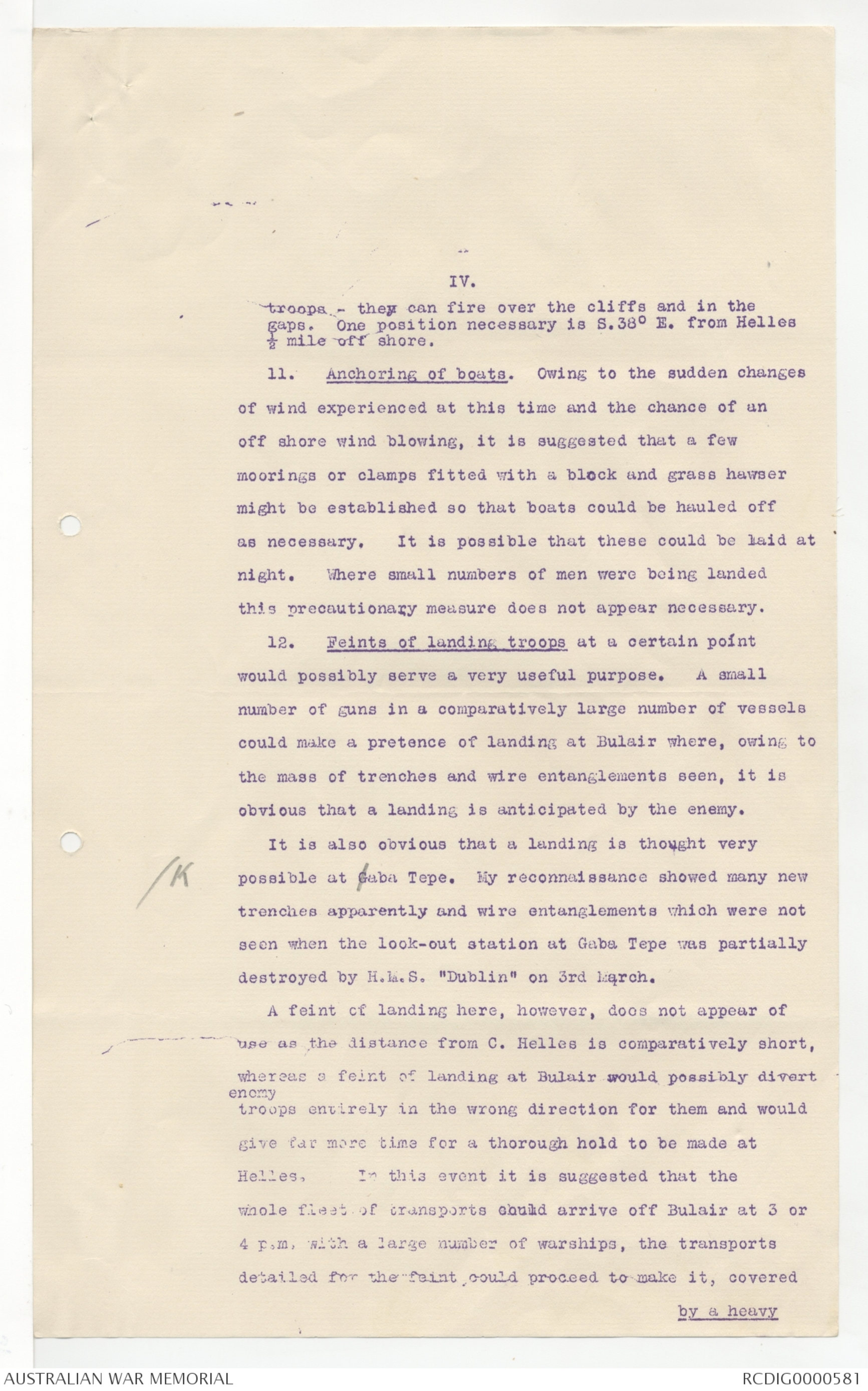
11. Anchoring of boats. Owing to the sudden changes
of wind experienced at this time and the chance of an
off shore wind blowing, it is suggested that a few
moorings or clamps fitted with a block and grass hawser
might be established so that boats could be hauled off
as necessary. It is possible that these could be laid at
night. Where small numbers of men were being landed
this precautionary measure does not appear necessary.
12. Feints of landing troops at a certain point
would possibly serve a very useful purpose. A small
number of guns in a comparatively large number of vessels
could make a pretence of landing at Bulair where, owing to
the mass of trenches and wire entanglements seen, it is
obvious that a landing is anticipated by the enemy.
It is also obvious that a landing is thought very
[*K*] possible at Gaba Tepe. My reconnaissance showed many new
trenches apparently and wire entanglements which were not
seen when the look-out station at Gaba Tepe was partially
destroyed by H.M.S. "Dublin" on 3rd March.
A feint of landing here, however, does not appear of
use as the distance from C. Helles is comparatively short,
whereas a felnt of landing at Bulair would possibly divert
enemy troops entirely in the wrong direction for them and would
give far more time for a thorough hold to be made at
Helles, In this event it is suggested that the
whole fleet of transports could arrive off Bulair at 3 or
4 p.m. with a large number of warships, the transports
detailed for the feint could proceed to make it, covered
by a heavy
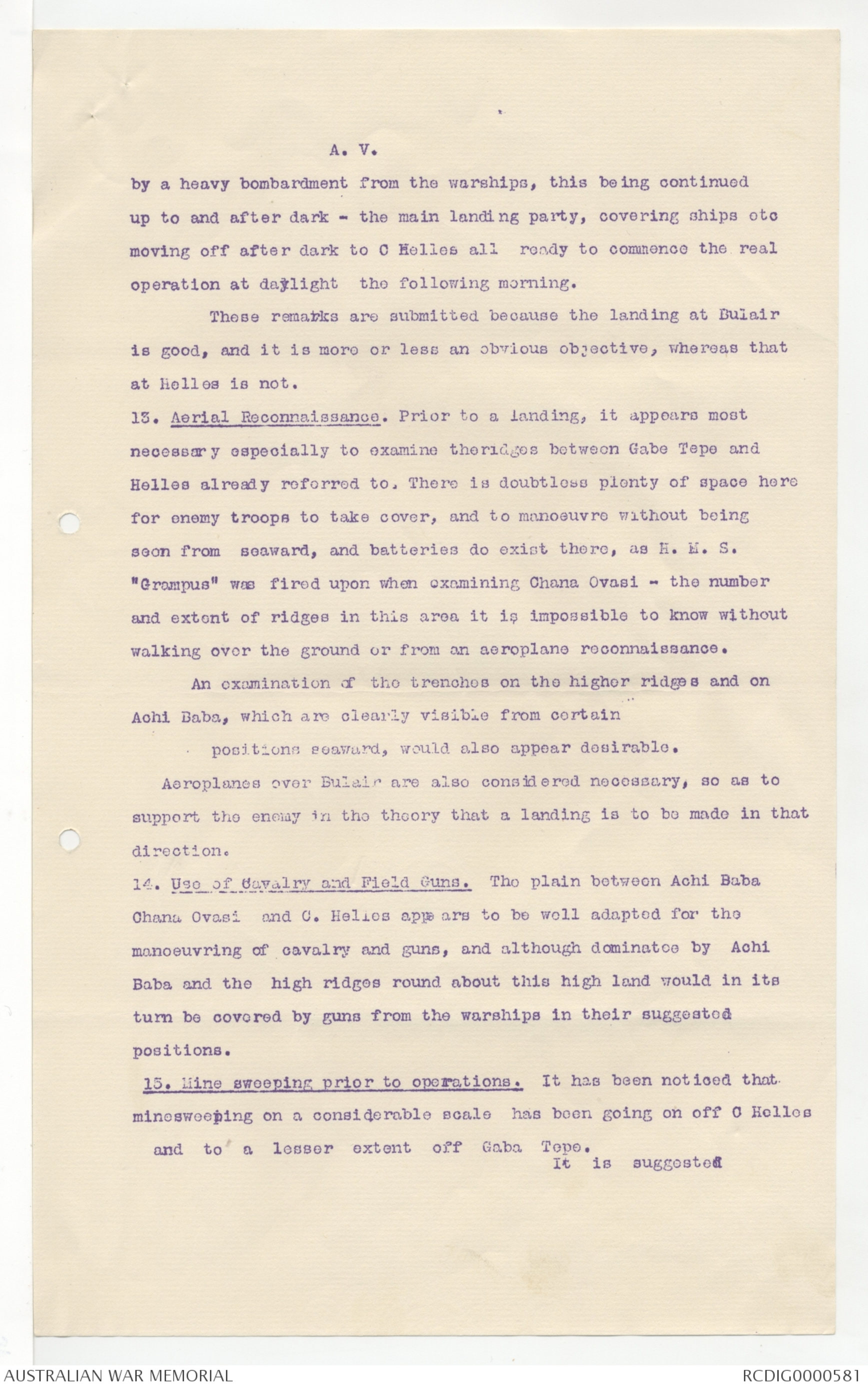
A. V.
by a heavy bombardment from the warships, this being continued
up to and after dark - the main landing party, covering ships etc
moving off after dark to C Helles all ready to commence the real
operation at daylight the following morning.
Those remarks are submitted because the landing at Bulair
is good, and it is more or less an obvious objective, whereas that
at Helles is not.
13. Aerial Reconnaissance. Prior to a landing, it appears most
necessary especially to examine theridges between Gabe Tepe and
Helles already referred to. There is doubtless plenty of space here
for enemy troops to take cover, and to manoeuvre without being
seon from seaward, and batteries do exist there, as H. M. S.
"Grampus" was fired upon when examining Chana Ovasi - the number
and extent of ridges in this area it is impossible to know without
walking over the ground or from an aeroplane reconnaissance.
An examination of the trenches on the higher ridges and on
Achi Baba, which are clearly visible from certain
positions seaward, would also appear desirable.
Aeroplanes over Bulair are also considered necessary, so as to
support the enemy in the theory that a landing is to be made in that
direction.
14. Use of Cavalry and Field Guns. The plain between Achi Baba
Chana Ovasi and C. Hellos appe ars to be well adapted for the
manoeuvring of cavalry and guns, and although dominatce by Achi
Baba and the high ridges round about this high land would in its
turn be covered by guns from the warships in their suggested
positions.
15. Mine sweeping prior to operations. It has been noticed that
minesweeping on a considerable scale has been going on off C Holles
and to a lesser extent off Gaba Topo.
It is suggested
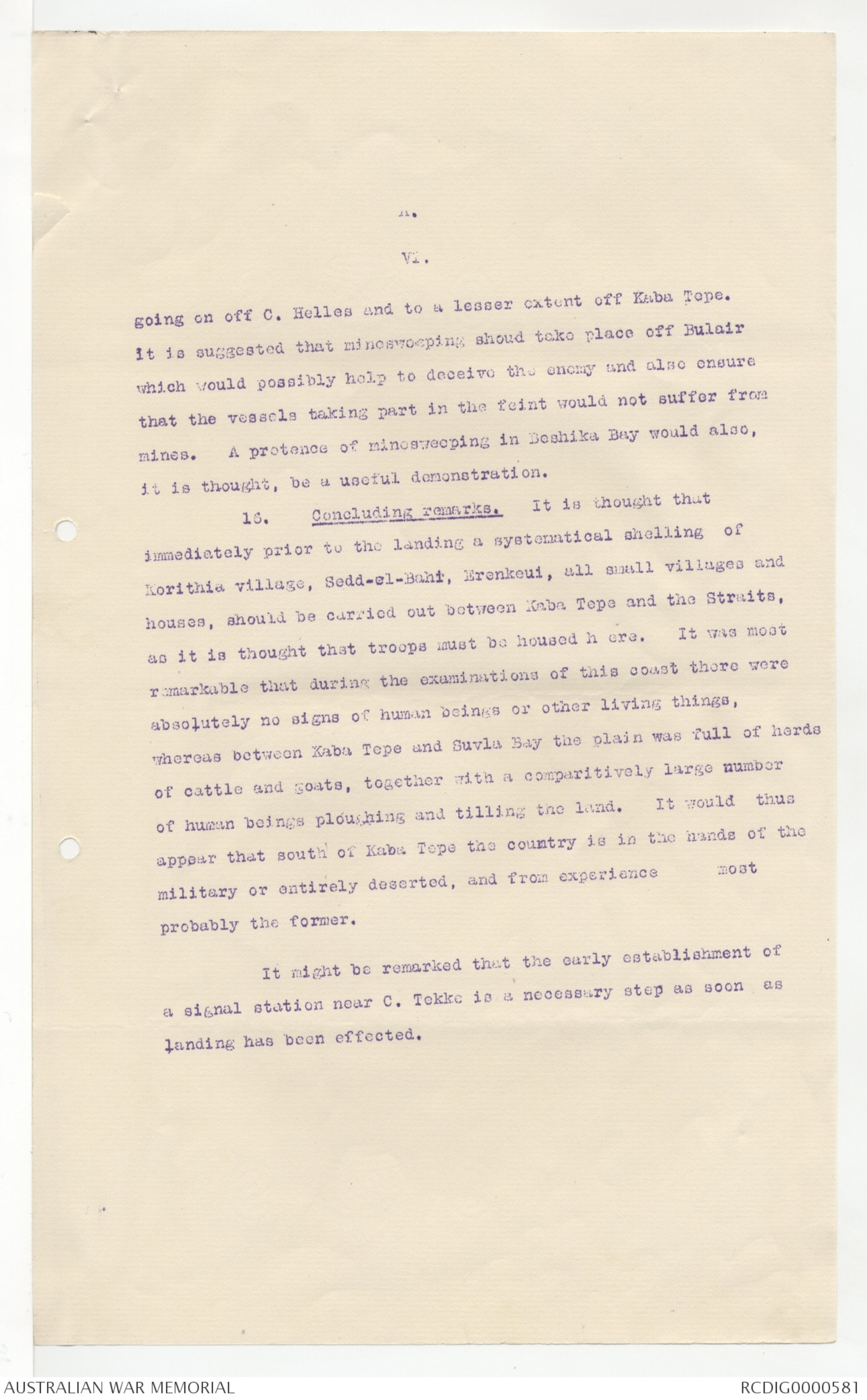
A
VI.
going on off C. Helles and to a lesser extent off Kaba Tepe.
It is suggested that minesweeping should take place off Bulair
which would possibly help to deceive the enemy and also ensure
that the vessels taking part in the feint would not suffer from
mines. A pretence of minesweeping in Beshika Bay would also,
it is thought, be a useful demonstration.
16. Concluding remarks. It is thought that
immediately prior to the landing a systematical shelling of
Korithia village, Sedd-el-Bahr, Erenkeui, all small villages and
houses, should be carried out between Kaba Tepe and the Straits,
as it is thought that troops must be housed h ere. It was most
remarkable that during the examinations of this coast there were
absolutely no signs of human beings or other living things,
whereas between Kaba Tepe and Suvla Bay the plain was full of herds
of cattle and goats, together with a comparitively large number
of human beings ploughing and tilling the land. It would thus
appear that south of Kaba Tepe the country is in the hands of the
military or entirely deserted, and from experience most
probably the former.
It might be remarked that the early establishment of
a signal station near C. Tekke is a necessary step as soon as
landing has been effected.
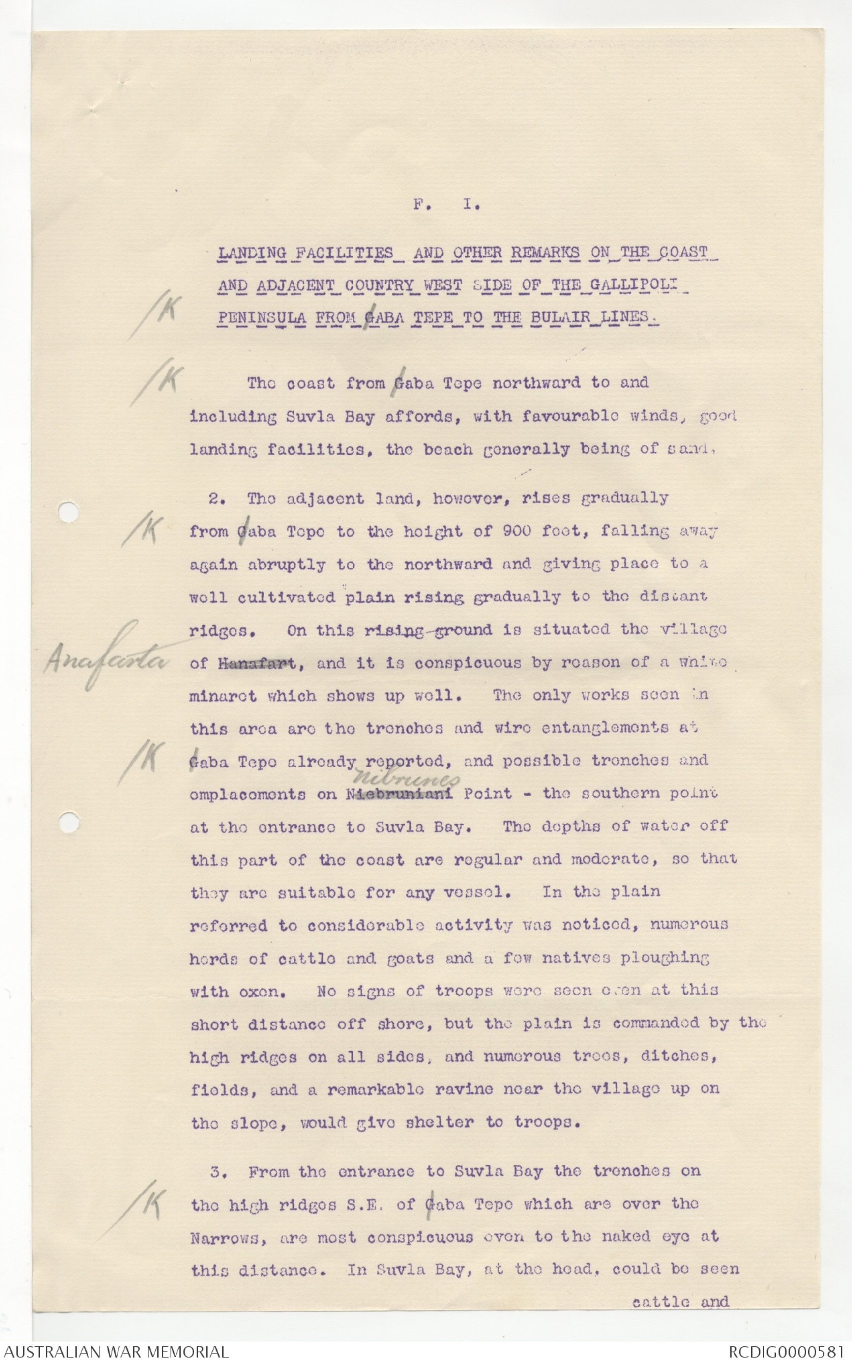
F. I.
LANDING FACILITIES AND OTHER REMARKS ON THE COAST
AND ADJACENT COUNTRY WEST SIDE OF THE GALLIPOLI
[*/K*] PENINSULA FROM GABA TEPE TO THE BULAIR LINES.
[*/K*] The coast from Gaba Tepe northward to and
including Suvla Bay affords, with favorable winds, good
landing facilities, the beach generally being of sand.
2. The adjacent land, however, rises gradually
[*/K*] from Gaba Tepe to the height of 900 feet, falling away
again abruptly to the northward and giving place to a
well cultivated plain rising gradually to the distant
ridges. On this rising ground is situated the village
of Hannafart Anafarta, and it is conspicuous by reason of a white
minaret which shows up well. The only works seen in
this area are the trenches and wire entanglements at
[*K*] Gaba Tepe already reported, and possible trenches and
emplacements on Niebruniani Nibrunes Point - the southern point
at the entrance to Suvla Bay. The depths of water off
this part of the coast are regular and moderate, so that
they are suitable for any vessel. In the plain
referred to considerable activity was noticed, numerous
herds of cattle and goats and a few natives ploughing
with oxen. No signs of troops were seen even at this
short distance off shore, but the plain is commanded by the
high ridges on all sides, and numerous trees, ditches,
fields, and a remarkable ravine near the village up on
the slope, would give shelter to troops.
3. From the entrance to Suvla Bay the trenches on
[*K*] the high ridges S.E. of Gaba Tepo which are over the
Narrows, are most conspicuous even to the naked eye at
this distance. In Suvla Bay, at the head, could be seen
cattle and
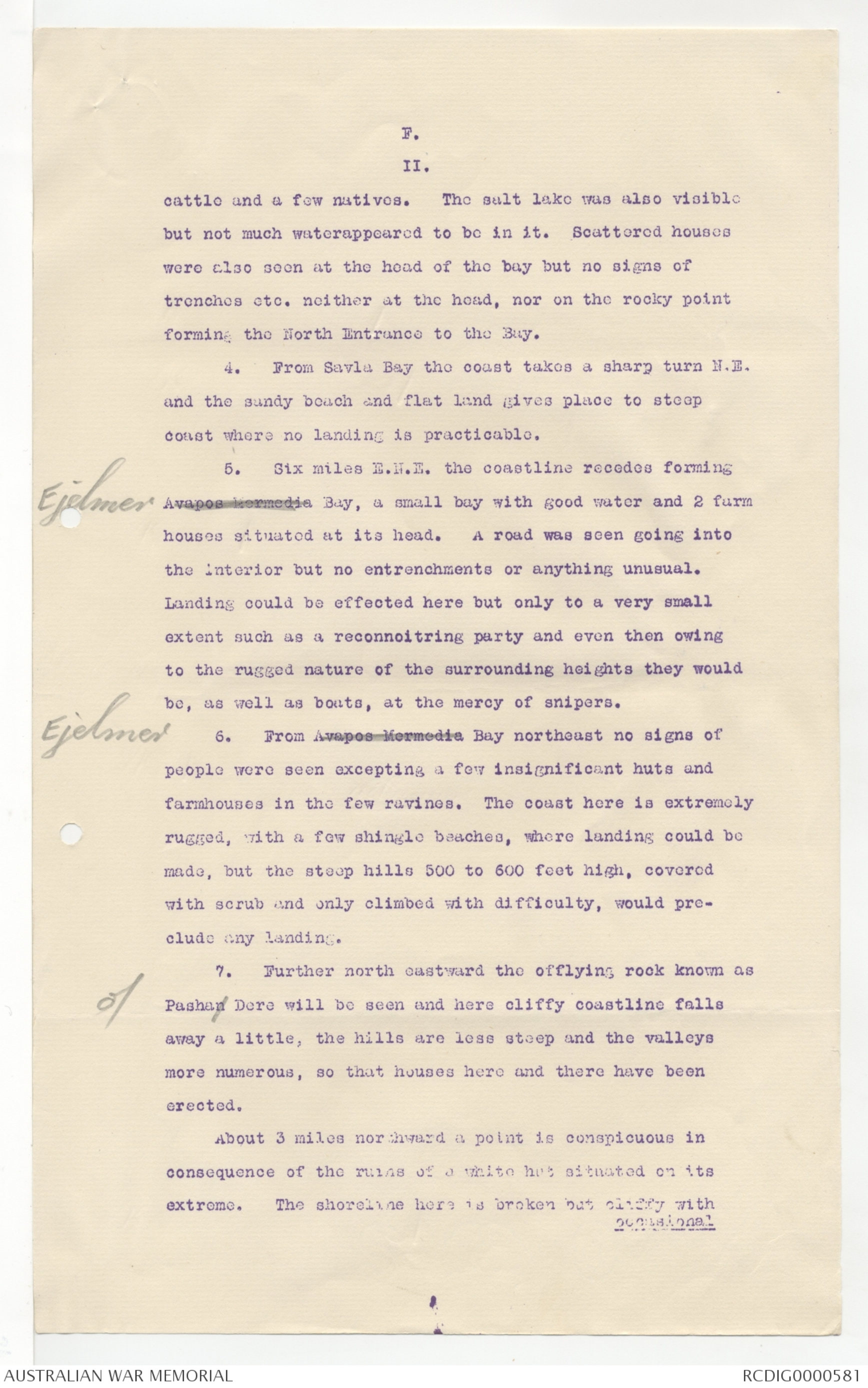
F.
II.
cattle and a few natives. The salt lake was also visible
but not much waterappeared to be in it. Scattered houses
were also seen at the head of the bay but no signs of
trenches etc. neither at the head, nor on the rocky point
forming the North Entrance to the Bay.
4. From Savla Bay the coast takes a sharp turn N.E.
and the sandy beach and flat land gives place to steep
coast where no landing is practicable.
5. Six miles E.N.E. the coastline recedes formingAvapos Mermedia, Ejelmer Bay, a small bay with good water and 2 farm
houses situated at its head. A road was seen going into
the interior but no entrenchments or anything unusual.
Landing could be effected here but only to a very small
extent such as a reconnoitring party and even then owing
to the rugged nature of the surrounding heights they would
be, as well as boats, at the mercy of snipers.
6. From Avapos Mermedia Ejelmer Bay northeast no signs of
people were seen excepting a few insignificant huts and
farmhouses in the few ravines. The coast here is extremely
rugged, with a few shingle beaches, where landing could be
made, but the steep hills 500 to 600 feet high, coverod
with scrub and only climbed with difficulty, would pre¬
clude any landing.
7. Further north eastward the offlying rock known as
[*o*] Pashan Dere will be seen and here cliffy coastline falls
away a little, the hills are less steep and the valleys
more numerous, so that houses here and there have been
erected.
About 3 miles northward a point is conspicuous in
consequence of the ruins of a white hut situated on its
extreme. The shoreline here is broken but cliffy with
occasional
F.
111.
occasional landings and tracks leading up to the high
ridges, but here again the ascent is very steep.
9. Before this conspicuous ruin is passed
[*//eu*] the windmills of Yenikioi village will be seen on
an E.S.E. bearing high up on the skyline. Those
mills, 9 in number, are very conspicuous and just
topping the ridge will be seen the roofs of houses
in the village. There is landing here and below
the mills the steeply rising ground is deeply
intersected by ravines, which again would be
difficult to ascend.
10. Following along the coast the high
land gradually falls away to the heights of Bulair,
which will be easily recognised by their forts and
barracks on the skyline and the village of Bulair
further along the heights and overlooking the Gulf
of Xeros.
11. Reference to Admiralty Chart F will
give a very good idea of the coast and
topographical features, but the bare slopes are
furrowed by apparently innumerable trenches and
wire entanglements, and it is obvious that to
prevent a landing of troops howitzers could be
placed on the further side of the ridge.
Apl 16/15
REPORT
GALLIPOLI PENINSULA.
 Jacqueline Kennedy
This transcription item is now locked to you for editing. To release the lock either Save your changes or Cancel.
This lock will be automatically released after 60 minutes of inactivity.