Charles E W Bean, Diaries, AWM38 3DRL 606/91/1 - October 1917 - Part 2
D41
9
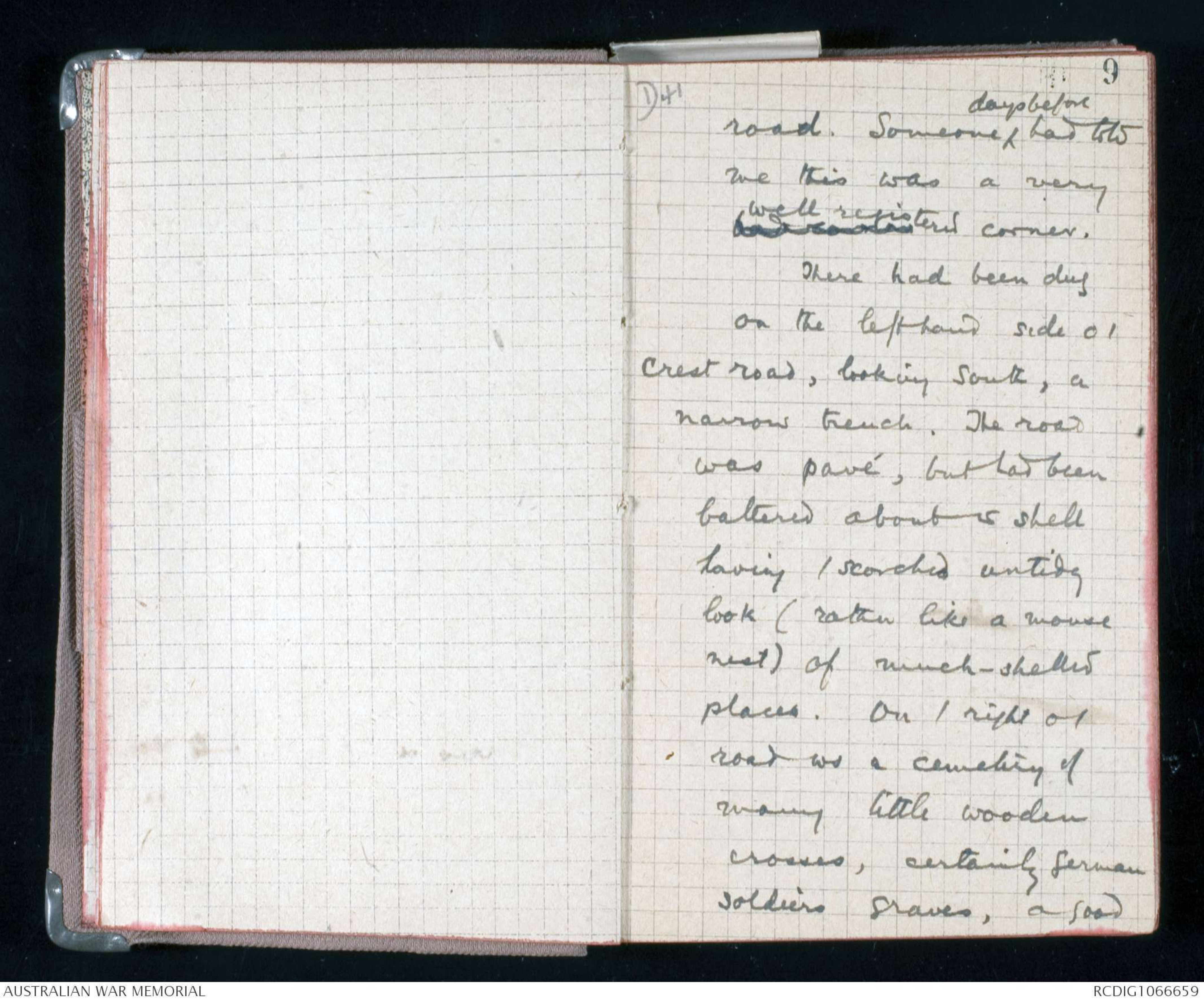
road. Someone ^days before had told
me this was a very
bad xxxxx well registered corner.
There had been dug
on the lefthand side o /
crest road, looking south, a
narrow trench. The road
was pavé, but had been
battered about w shell
having / scorched untidy
look (rather like a mouse
nest) of much-shelled
places. On / right o /
road ws a cemetery of
many little wooden
crosses, certainly German
soldiers graves, a good
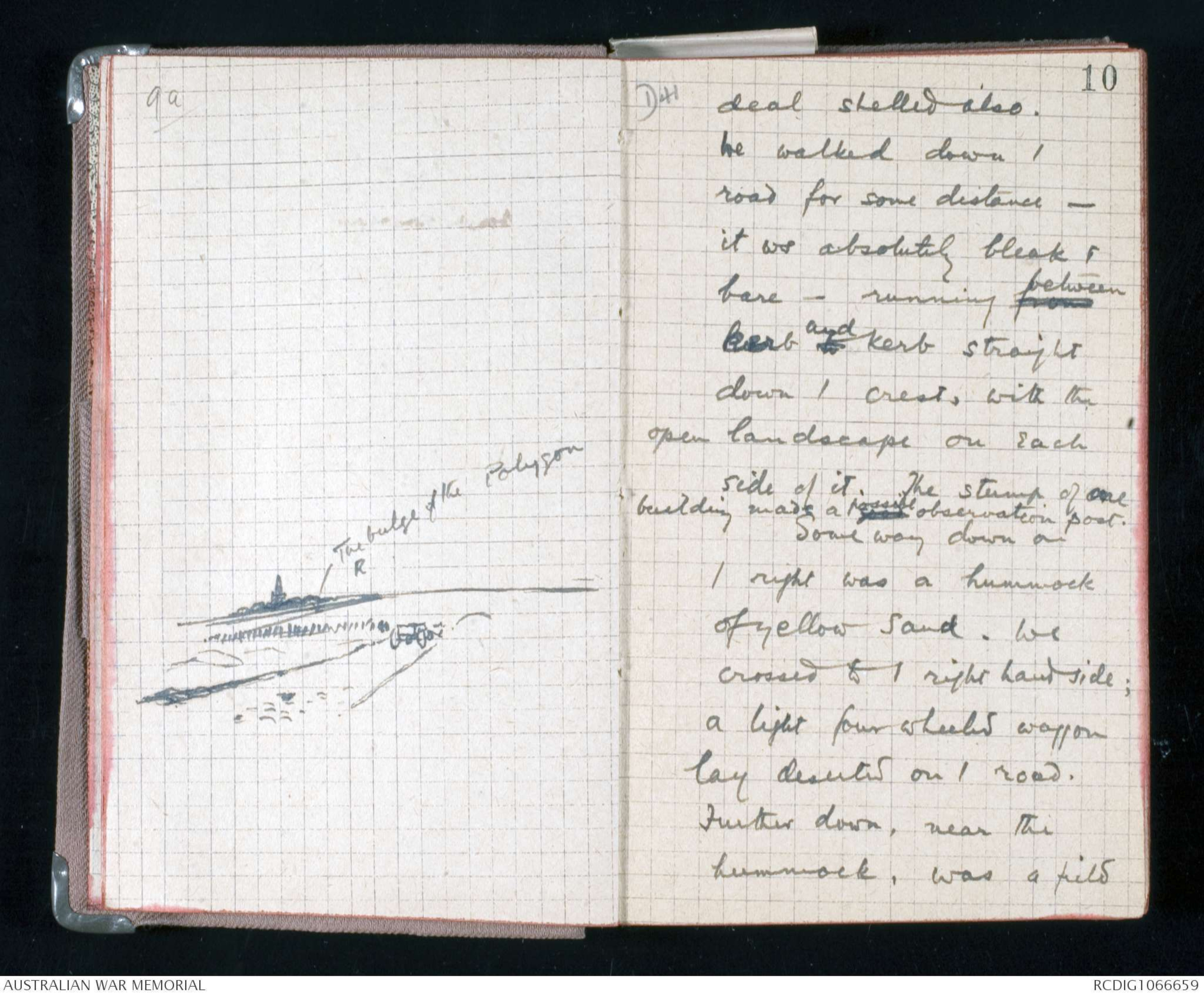
9a
Hand drawn diagram – see original
D41
10
deal shelled also.
We walked down /
road for some distance -
it ws absolutely bleak &
bare - running from between
kerb to and kerb straight
down / crest, with the
open landscape on each
side of it. The stump of one
building made a good possible observation post.
Some way down on
/ right was a hummock
of yellow sand. We
crossed to / right hand side;
a light four wheeled waggon
lay deserted on / road.
Further down, near the
hummock, was a field
11
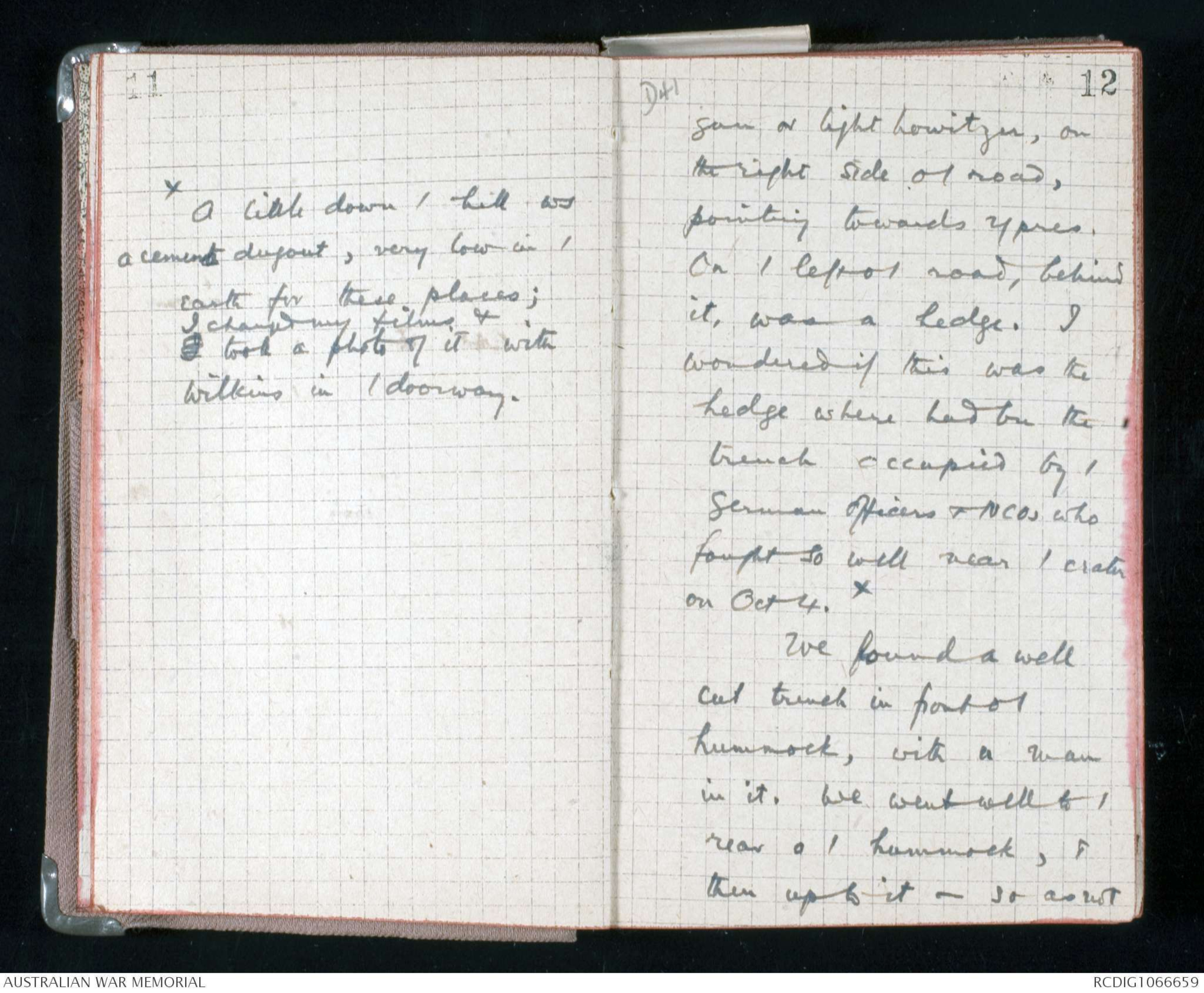
X A little down / hill ws
a cement dugout, very low in /
earth for these places;
I changed my films &
I took a photo of it with
Wilkins in / doorway.
D41
12
gun or light howitzer, on
the right side of / road,
pointing towards Ypres.
On / left o / road, behind
it, was a hedge. I
wondered if this was the
hedge where had bn the
trench occupied by /
German officers & NCOs who
fought so well near / crater
on Oct 4. X
We found a well
cut trench in front o /
hummock, with a man
in it. We went well to /
rear o / hummock, &
then up to it - so as not
D41
13
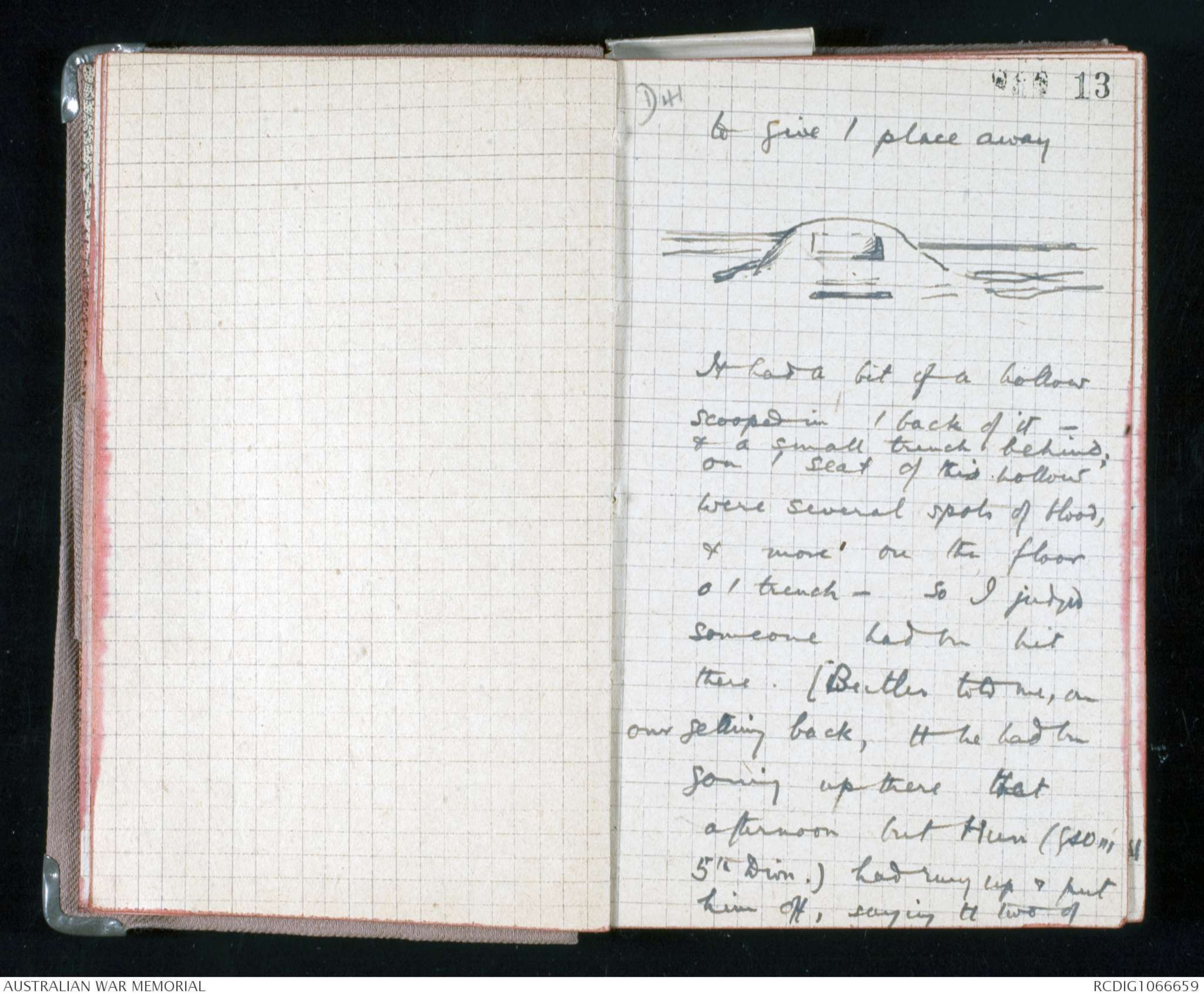
to give / place away
Hand drawn diagram – see original
It had a bit of a hollow
scooped in / back of it -
& a small trench behind;
on / seat of this hollow
were several spots of blood,
& more on the floor
o / trench - so I judged
someone had bn hit
there. (Butler told me, on
our getting back, tt he had bn
going up there that
afternoon but Hun (GSO[[M?]]
5th Divn.) had rung up & put
him off, saying tt two of
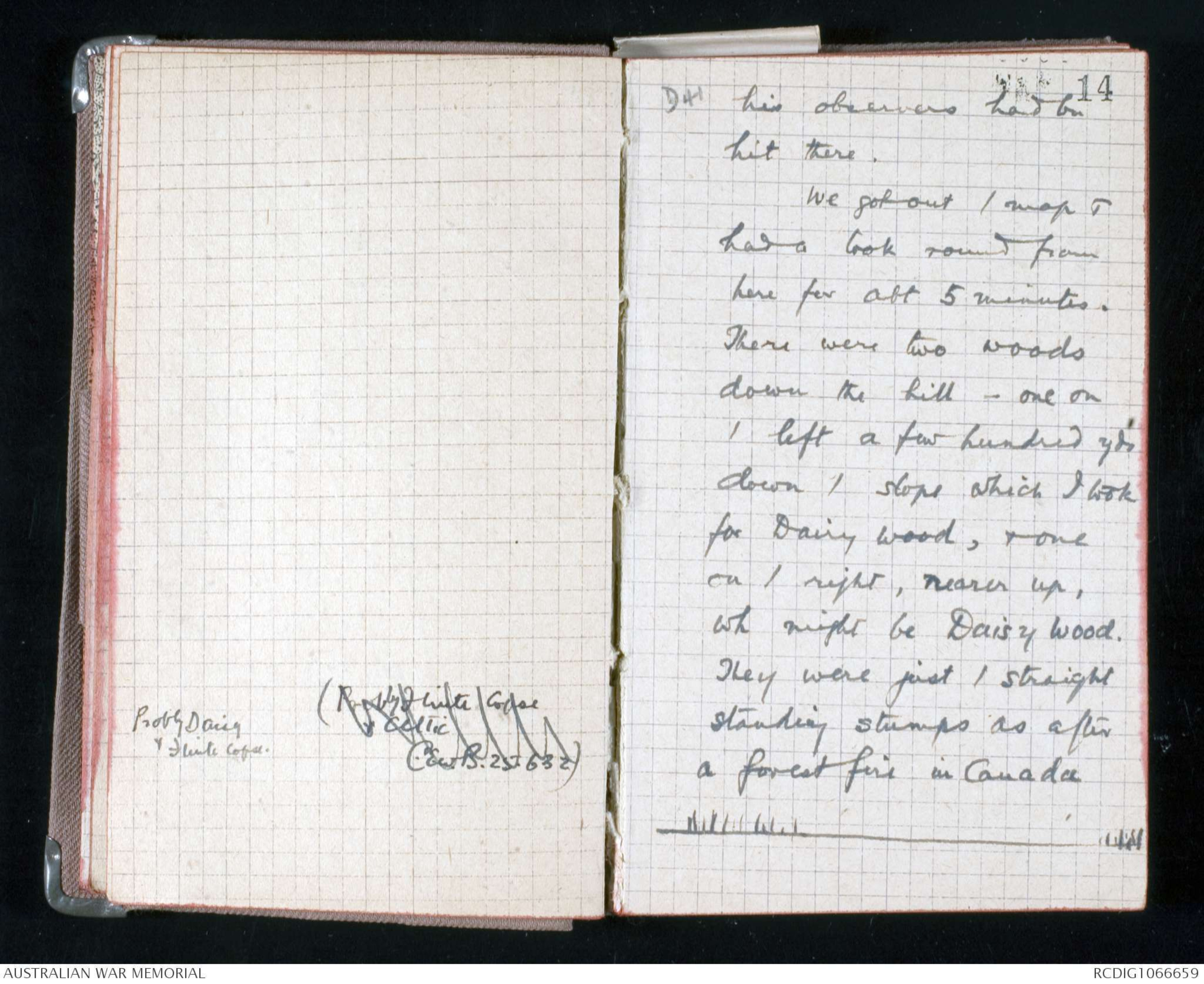
Probly Daisy
& Flinte Copse.
(Probly Flinte Copse
& Celtic
C.E.W.B. 25.6.32)
D41
14
his observers had bn
hit there.
We got out / map &
had a look round from
here for abt 5 minutes.
There were two woods
down the hill - one on
/ left a few hundred yds
down / slope which I took
for Dairy Wood, & one
on / right, nearer up,
wh might be Daisy Wood.
They were just / straight
standing stumps as after
a forest fire in Canada
Hand drawn diagram- see original document.
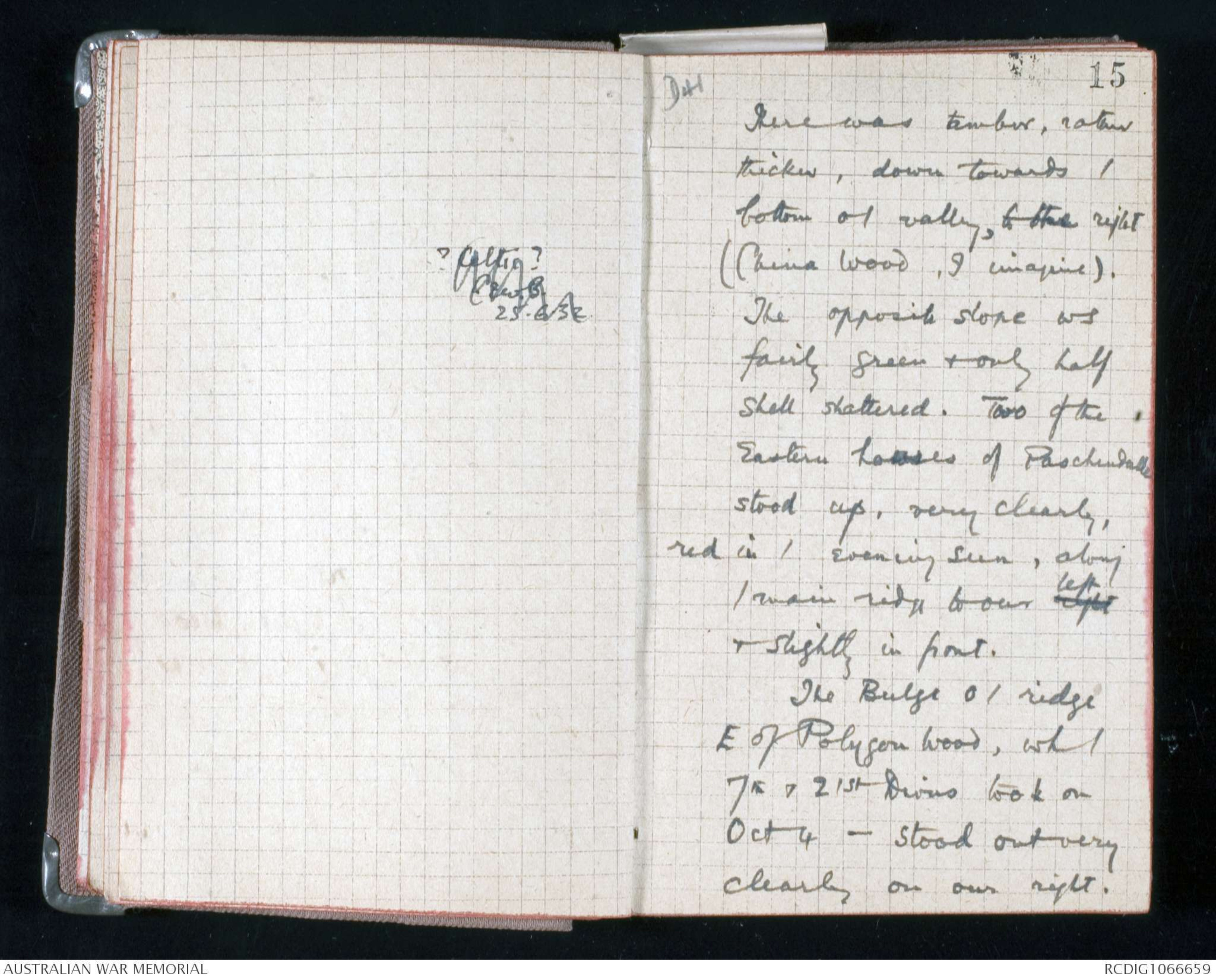
? Celtic ?
C.E.W.B.
25.6.32
D41
15
There was timber, rather
thicker, down towards /
bottom of valley, to the right
(China Wood, I imagine).
The opposite slope ws
fairly green & only half
shell shattered. Two of the
Eastern houses of Paschendalle
stood up, very clearly,
red in / evening sun, along
/ main ridge to our right left
& slightly in front.
The Bulge o / ridge
E of Polygon Wood, wh /
7th & 21st Divns took on
Oct 4 - stood out very
clearly on our right.
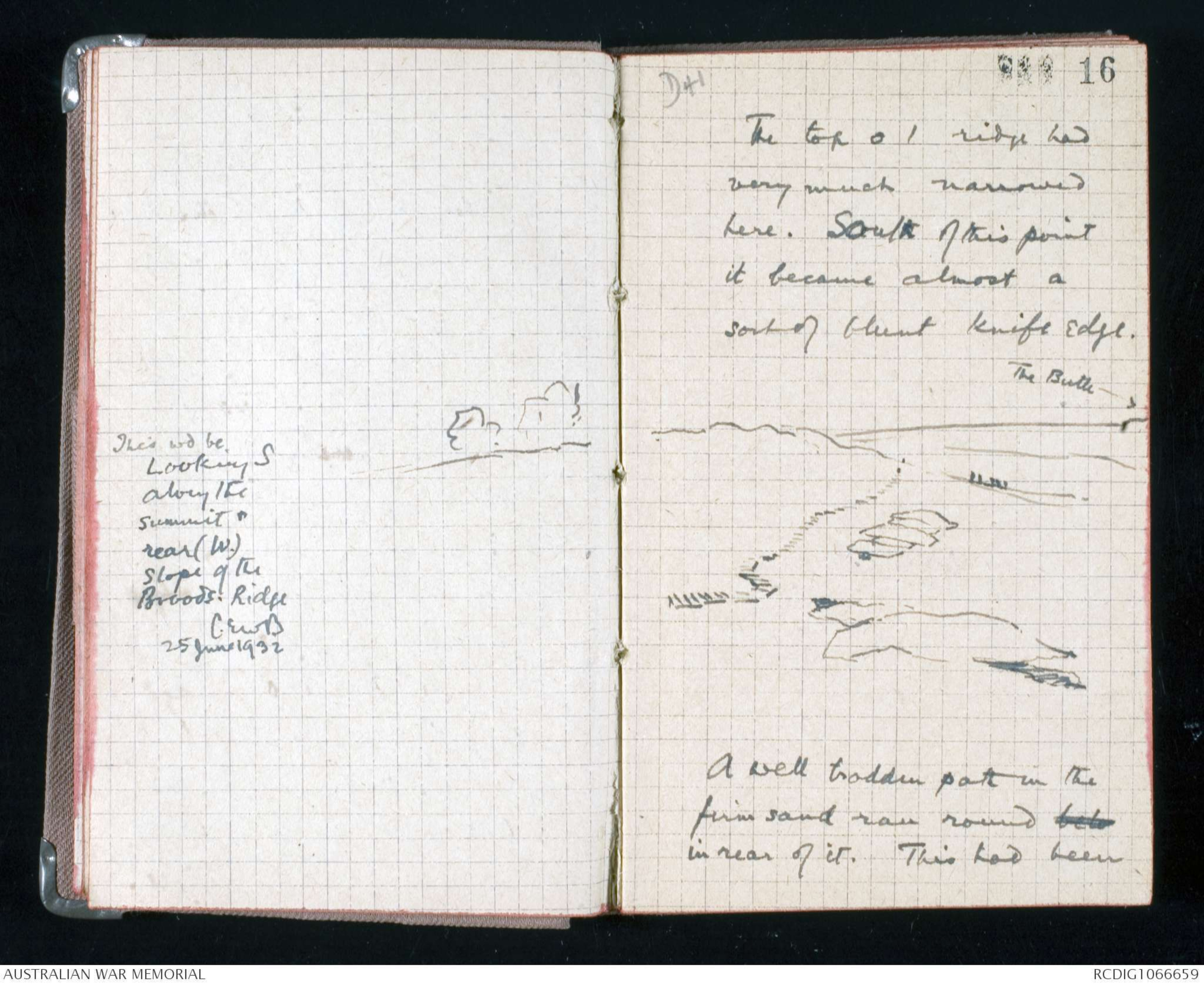
Hand drawn diagram – see original
This wd be
Looking S
along the summit &
rear (W.)
slope of the
Broods. Ridge
C.EWB.
25 June 1932
D41
16
The top o / ridge had
very much narrowed
here. South of this point
it became almost a
sort of blunt knife edge.
Hand drawn diagram – see original
A well trodden path in the
firm sand ran round belo
in rear of it. This had been
D41
17
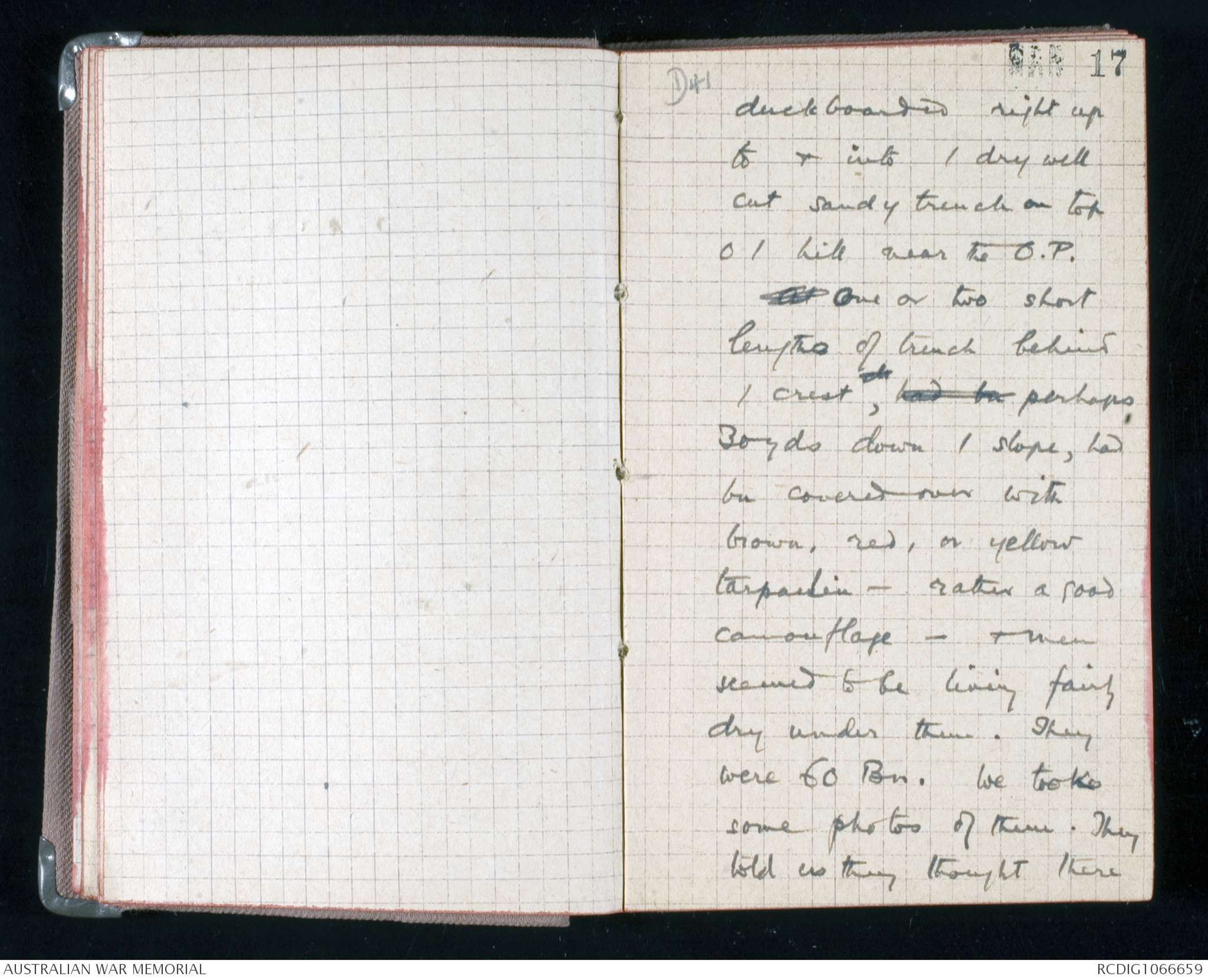
duckboarded right up
to & into / dry well
cut sandy trench on top
o / hill near the O.P.
At One or two short
lengths of trench behind
/ crest, xx had bn perhaps,
30 yds down / slope, had
bn covered over with
brown, red, or yellow
tarpaulin - rather a good
camouflage - & men
seemed to be living fairly
dry under there. They
were 60 Bn. We took
some photos of them. They
told us they thought there
D41
18
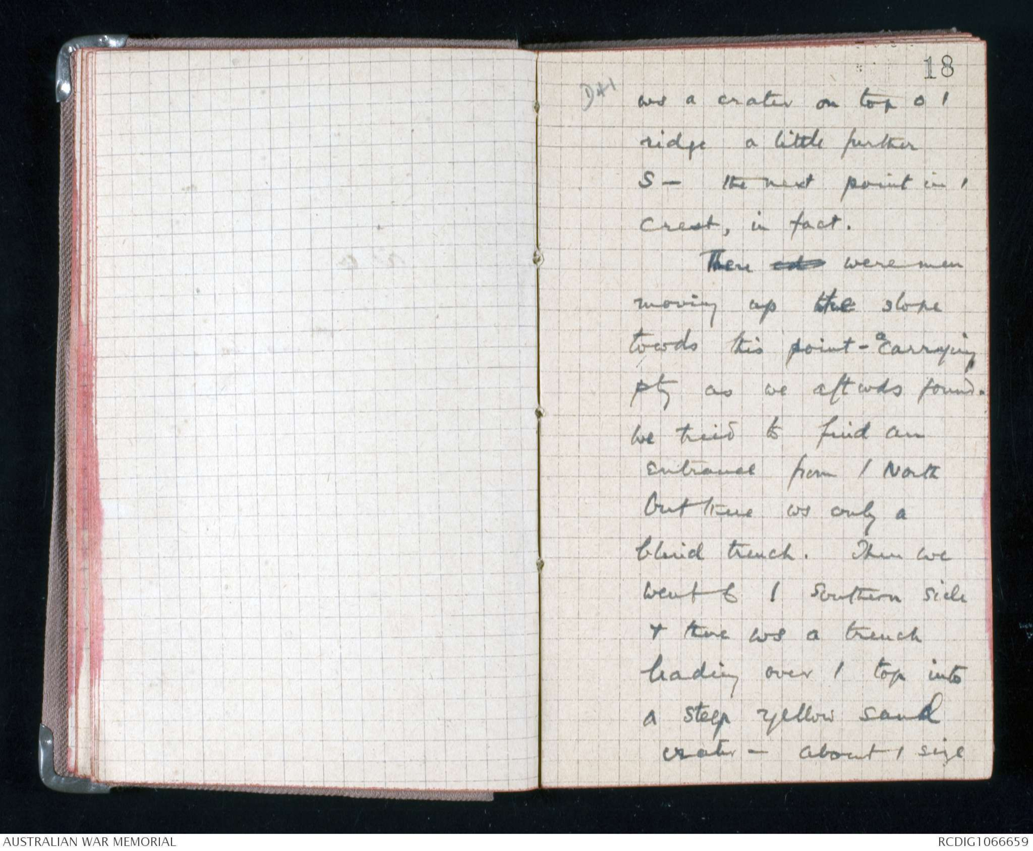
ws a crater on top o /
ridge a little further
S - the next point in /
crest, in fact.
There cd were men
moving up the slope
towds this point - a carrying
pty as we aftwds found.
We tried to find an
entrance from / North
but there ws only a
blind trench. Then we
went to / southern side
& there ws a trench
leading over / top into
a steep yellow sand
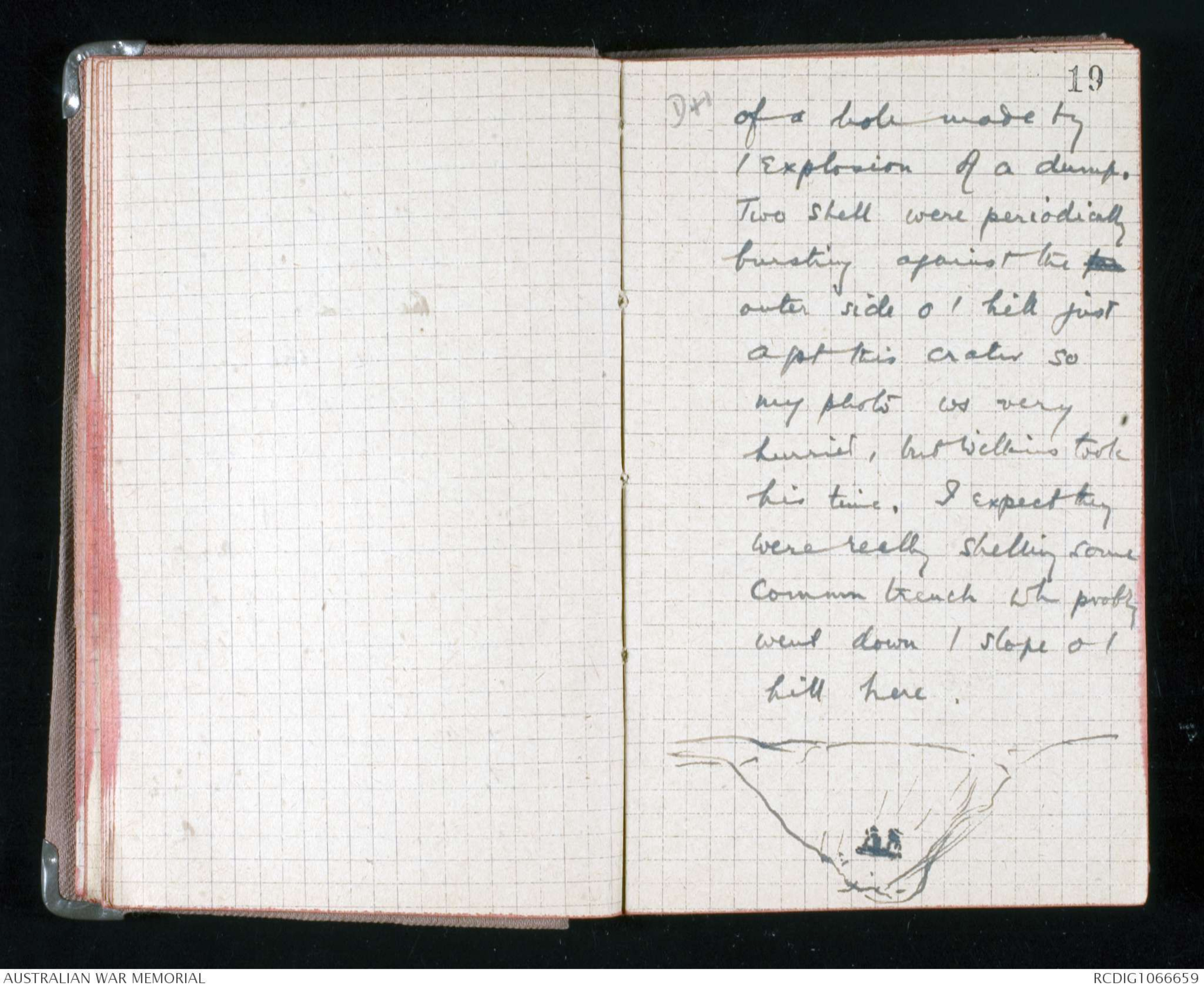
crater - about / size
D41
19
of a hole made by
/ explosion of a dump.
Two shell were periodically
bursting against the far
outer side o / hill just
agst this crater so
my photo ws very
hurried, but Wilkins took
his time. I expect they
were really shelling some
Commn trench wh probly
went down / slope o /
hill here.
Hand drawn diagram – see original
 Lulu B
This transcription item is now locked to you for editing. To release the lock either Save your changes or Cancel.
This lock will be automatically released after 60 minutes of inactivity.