
Diary of A1 [Harrisson], 16 Oct 1945 to 31 Jan 1946 - Part 3
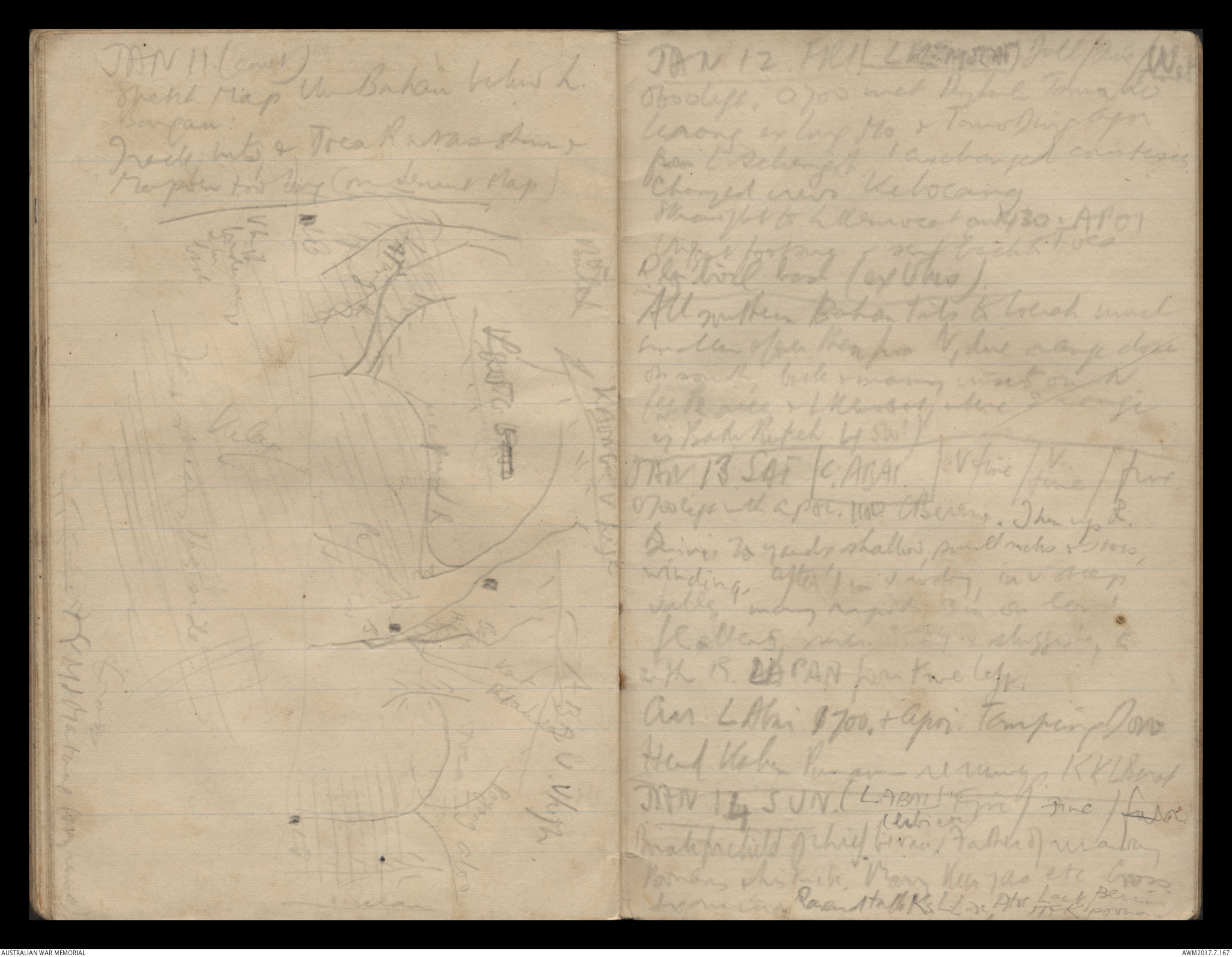
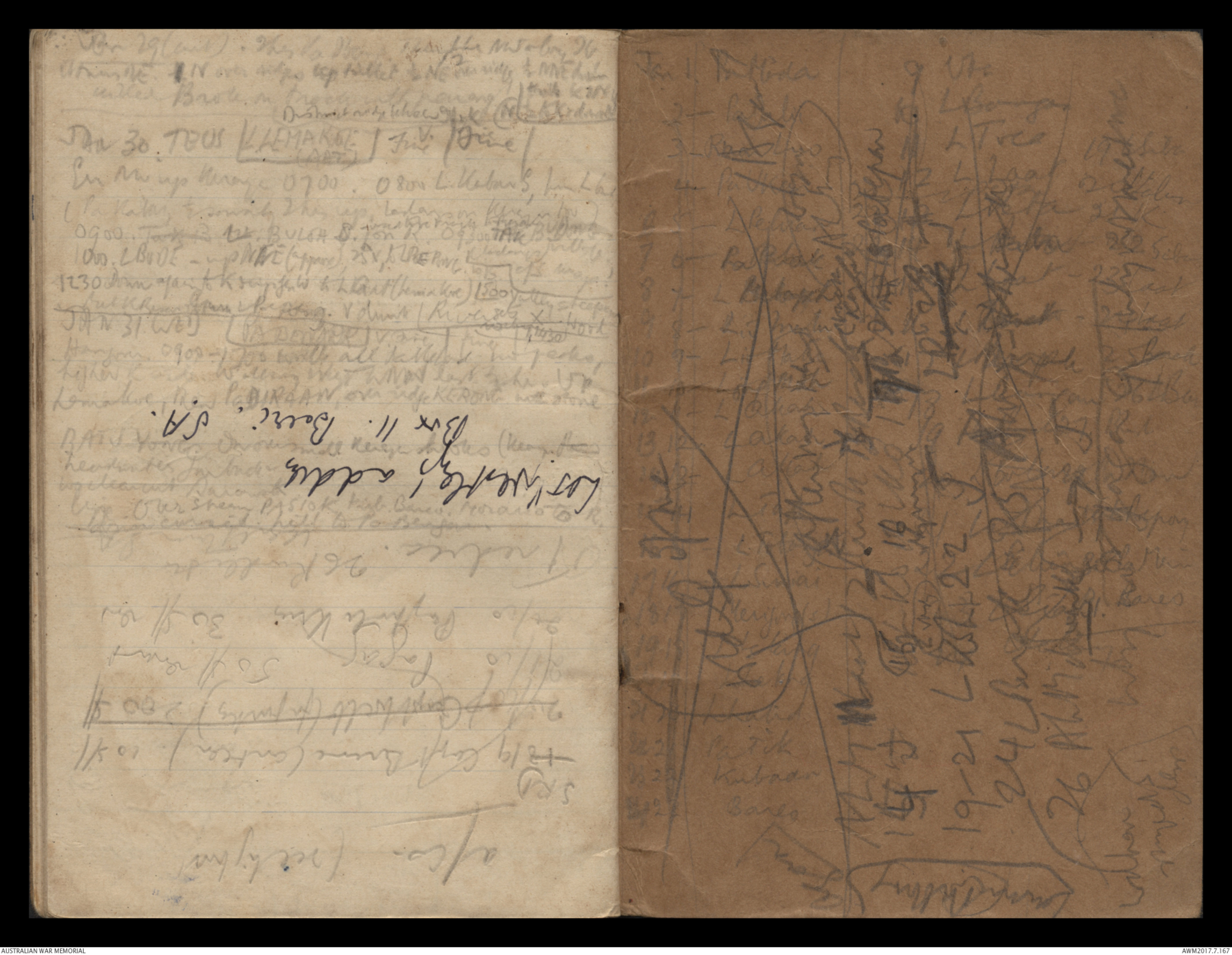
JAN 11. (contd.)
Sketch Map the Bahau below L.
Bangan.
Track into & Trea R not as shown &
[[Marpuen?]] too long (on Semut Map)
Sketch - see original document
JAN 12 FRI [[?LEMOLAT?]] Dull/ Fine/ Wet
0600 left. 0700 met [[?Dyland]] Tomako
Leaong ex Long Mo & Tomo Ding again
from L Selengot & exchanged courtesies.
Changed crews Kelocang
Straight to [[Leearnveat?]] at 1430. AP01
[[?]] got foot sore - sent back to [[?Tuca]]
R[[?]] will last (ex [[?]] hrs).
All northern Bahan trails to [[Locack?]] much
smaller after then from N, line range closer
on south, bank & many insets on N.
(ex [[?]] once & L [[?K]] where S range
by Batu Puteh by SW)
JAN 13 SAT [*C.ABAI*] V fine /V. fine/fine
0700 left with APOL. 1100 C Berang. Then up R.
Revine is 70 yards shallow, small rocks & stones,
winding, after 1m v windy in v steep
valley, many rapids 3m on land
flattens, [[?]] 4 x sluggish to
with R. LAPAN from the left.
Arr L Abai 1700. & Apar. Tamping Doro
Head [[Kabau?]] [[?]] v windy. K K L [[Burat?]
JAN 14 SUN. (LABAI) Fine/fine/fair
Buah for child of chief [[?]]. Father of [[?]]
[[?]] & his tribe. Many [[Keh ??]] etc. Cross
[[stream?]]. [[?]] talk Ks L Lioc, Atoc, Lock [[Ber?]]
[[ITCK Poonan?]]
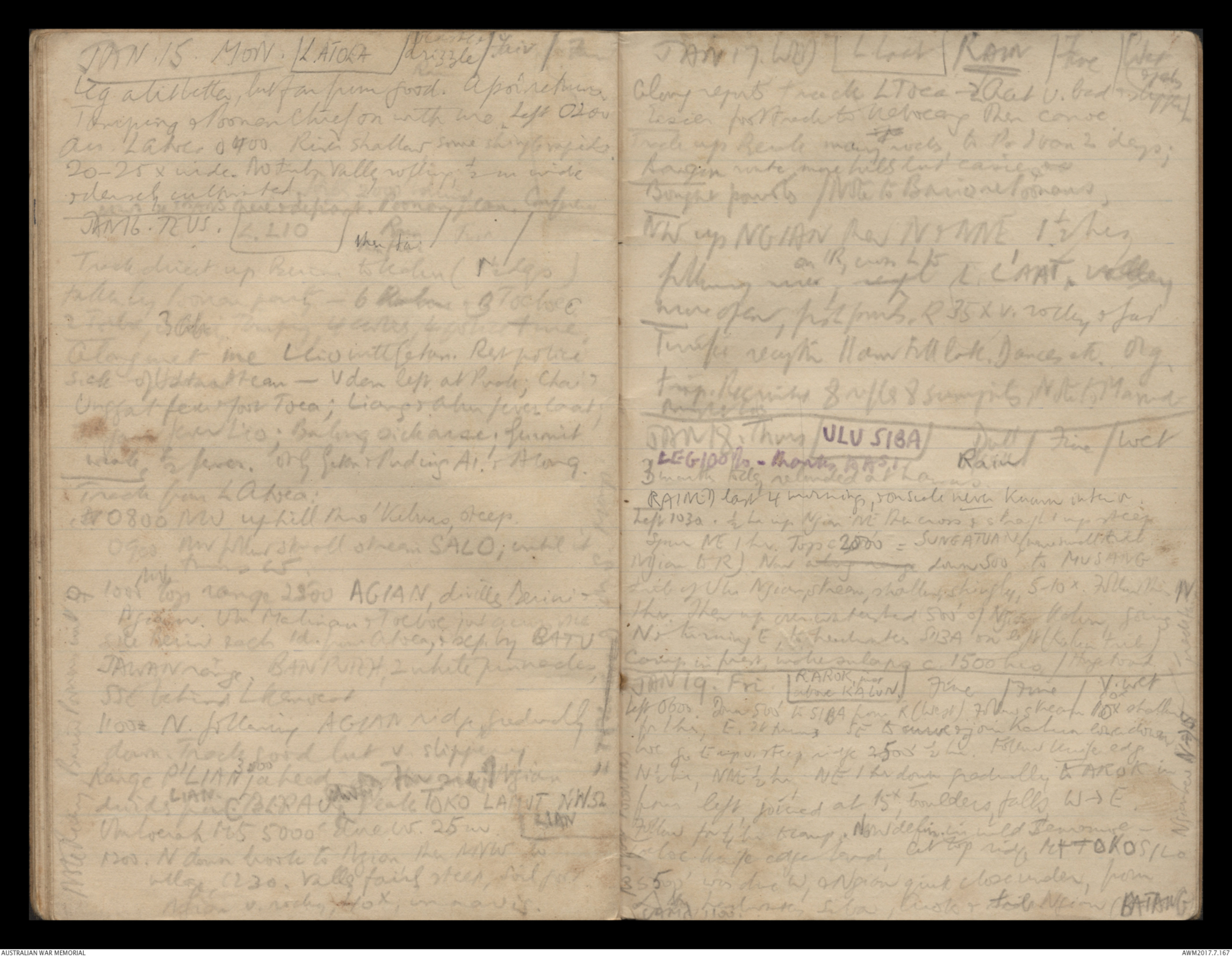
JAN.15. MON. L. ATOEA O/caste & drizzle/Fair/Fine
Leg a bit better, but far from good. Apoi returns
Tamping & Poonan Chief on with me. Left 0200
Arr. Later 0400. River shallow some shingle rapids.
20-25 x wide. No timber valley rolling, ½ m wide
& densely cultivated.
[[?]] here & defiant. Poonan plan Confusion.
JAN 16. TEUS. L. LIO Rain then fair/Fair/
Track direct up B[[?]] to [[?]] (ridges)
taken by Poonan party - 6 [[?R]] 3 [[Tochoc?]]
2 Tribe, 3 [[?]] [[?]] 4 [[?]], 4 [[?]] & me,
Along mt me L Li wth [[etan?]]. Rest police
sick of [[?]] team - V den left at [[Puole?]]; Chai &
Unggat [[?] & gave Toea; Lian & Ahin fever [[?]];
[[?]] fever Lio; Balong sick [[?]], Gusmit
scale, [[?]] fever. Only Eton & Pudins AI & Along.
Track from L [[Atrea?]]:
Arr 0800 NW uphill thro' Kiluno, steep.
0900 NW follow small steam SALO; until it
turns W.
1000 ^NW top range 2500 AGIAN, divills Berini &
[[Agison?]]. Uhn Malinaun & Toeboe just across me
[[?]] & ack id. from Atrea, & sep by BATV
JAWAN range. BANPUNH, 2 white pinnacles,
SSE behind [[?]]
11 00 N. following AGIAn ridge, friendly
down. Track good but v slippery
Range P'LIAN ∧ 3000 ahead far side of ridge
divides LIAN from C.B.L.R AU [[?]] Peale TOKO LAMVT NWS LIAN
Umloenah M5 5000 [[?]] W.25m
1200. N down [[?]] to Agian then NNW to
village 1230. Valley fairly steep, soil [[?]]
Agian v. rocky, HOX, in [[?]]
JAN 17. WED L Loch
JAN 17 WED (L.Lacr) RAIN/Fine/Wet & [[?]]
Glory reports track LToca → LAat v. bag & slippery.
Easier foot march to Nebucang then canoe.
Track up Renbe many rivers, to PaIvan 2 days;
Bangin route more hills but easier &
Bought parrots / Note to [[?]] Poonans
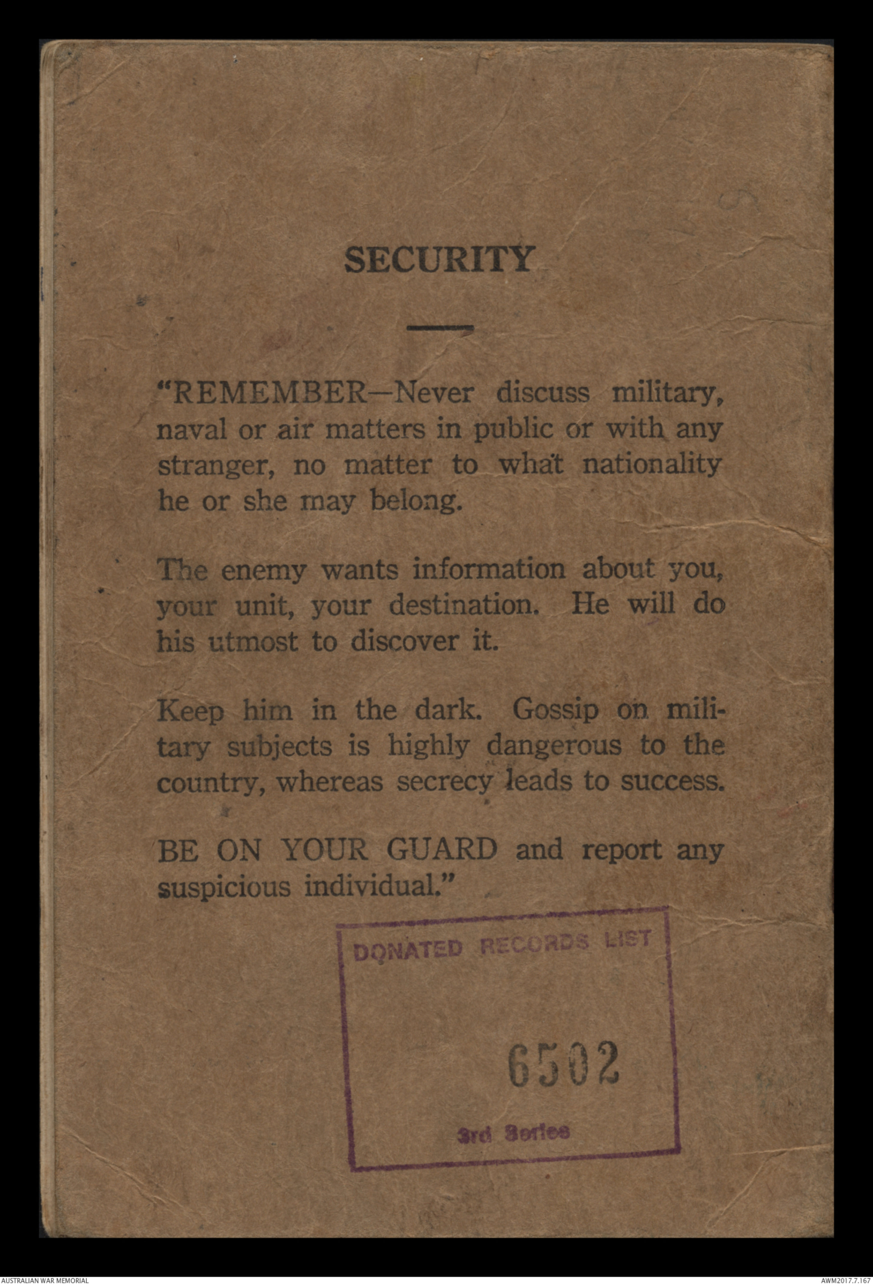
SECURITY
"REMEMBER-Never discuss military,
naval or air matters in public or with any
stranger, no matter to what nationality
he or she may belong.
The enemy wants information about you,
your unit, your destination. He will do
his utmost to discover it.
Keep him in the dark. Gossip on mili-
tary subjects is highly dangerous to the
country, whereas security leads to success.
BE ON YOUR GUARD and report any
suspicious individual."
DONATED RECORDS LIST
6502
3rd Series
 Betty
BettyThis transcription item is now locked to you for editing. To release the lock either Save your changes or Cancel.
This lock will be automatically released after 60 minutes of inactivity.